 tcy notes
Globe view
Drag to rotate ·
Locate a region
Elevation (m)
−6,000−1,50001,0004,500
The globe texture could not load. Retry or open a plate below.
Terrestrial planet
Earth
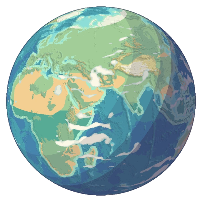
Follow coastlines and cloud bands into five illustrated landscapes.
 CoastShallows Harbour
Earth regions
Five terrain plates


Cartography and data sources
The globe uses measured coastlines and relief. Elevation bands are in metres. Slope shading is exaggerated 12×. Its five markers lead to original illustrations of representative terrain.